
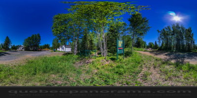
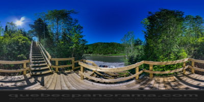
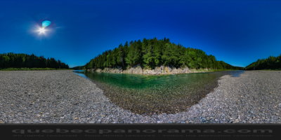
3 paths all lead to a gazebo with panoramic views of the river below, and on the summits of the region.
How to get there: Google Maps
Categories: Sports and outdoor activities, Hiking
Card created: 08/2016 (last modified: 11/2016)
GPS coordinates: 48°24'32.17"N, 64°30'6.62"W
Download for your GPS: (.gpx)