
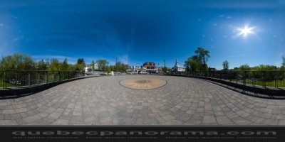
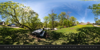
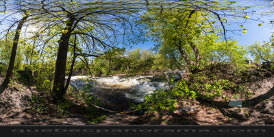
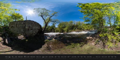
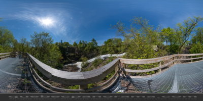
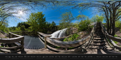
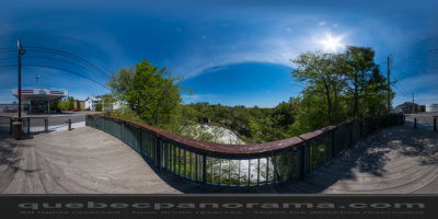
The Park of the Kabir Kouba Cliff and Waterfall is a public park in Québec (Canada) crossed by the Saint-Charles River. The rapids and falls of this section of the river are called Kabir Kouba the «river of a thousand bends» in the Montagnais language. An interpretive center and trails permit the observation of the Kabir Kouba waterfall that has a height of 28 metres. The trails also provide a view of the canyon which at its highest point measures 42 metres as well as a rich variety of flora, fauna and fossils dating over 455 million years old. The interpretive center also offers services such as Kabir Kouba by Lantern, A Day at Loretteville package as well as guided visits of the falls.
How to get there: Google Maps
Categories: Sports and outdoor activities, Park and wildlife reserve, Hiking
Card created: 05/2013
GPS coordinates: 46°51'20.56"N, 71°21'19.06"W
Download for your GPS: (.gpx)