
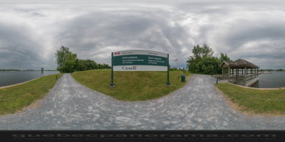
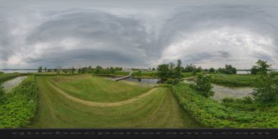
This old British fort is located on Île aux Noix, in the middle of the Richelieu River. No bridge connects this island, with its fabulous destiny. There isn’t any choice: you have to leave your vehicle behind. The boat is how you get there! The children will love it. The crossing takes five minutes. Just long enough to cross the time barrier and tread the ground of an outstanding site.
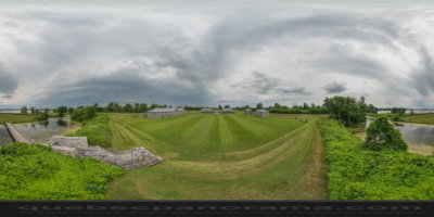
Located a few kilometres from the Canada-U.S. border, the fort was built from 1819 to 1829. It consists of defensive works and of several masonry buildings of outstanding beauty. The site as a whole had the aim of protecting the colony from an eventual American invasion along the Richelieu River.
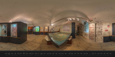
Administered by Parks Canada, Fort Lennox annually hosts tens of thousands of people. It is among the few genuine British fortifications in North America. Its original structures remain intact, the work we are currently not carried to its conservation.
Led by experienced guides, you’ll be a visit you will learn more.
1, 61e Avenue, Saint-Paul-de-l’Île-aux-Noix, QC, CA J0J 1G0

How to get there: Google Maps
Categories: Attractions, Museums and historic sites, National Historic Site of Canada
Card created: 05/2013 (last modified: 12/2016)
GPS coordinates: 45°7'23.18"N, 73°16'4.58"W
Download for your GPS: (.gpx)