
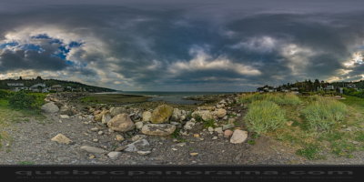
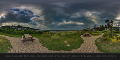
The municipal rest is reached along the road to the strike and then the path of Chalets. This peaceful spot situated directly on the shore of the St. Lawrence River is arranged picnic tables, a direct access to the beach, a dock for boats, parking and a dry toilet. Let yourself be taken by the sound of waves and wind while watching birds, ships, and sundowners breathtaking.
How to get there: Google Maps
Categories: Attractions, Rest areas
Card created: 09/2015 (last modified: 09/2015)
GPS coordinates: 48°13'13.28"N, 69°3'35.34"W
Download for your GPS: (.gpx)