
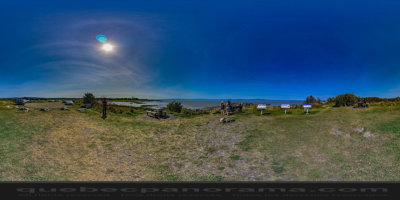
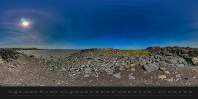
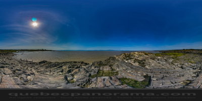
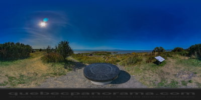
Le Havre du Quai, picnic area and breathtaking panoramic vantage point, advancing a park on the river. On site, a “viewpoint” round 120 cm diameter, hard stone, allows visitors to identify all sites on 360 °. On a clear day one can see in the distance, west Tourmente Cape plunges into the river, while in the east the lights twinkle to the mouth of the Saguenay.
How to get there: Google Maps
Categories: Attractions, Rest areas
Card created: 09/2015 (last modified: 09/2015)
GPS coordinates: 47°18'56.38"N, 70°10'17.99"W
Download for your GPS: (.gpx)