
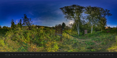
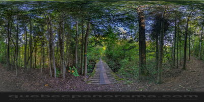
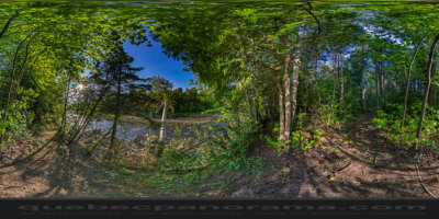
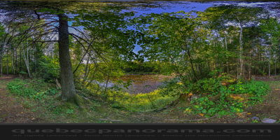
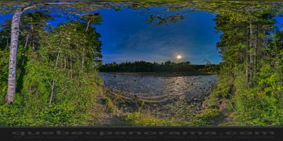
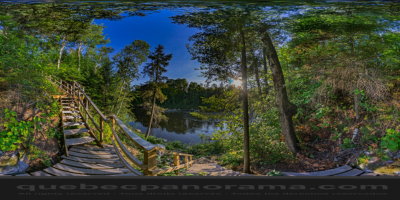
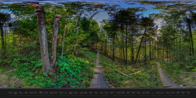
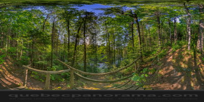
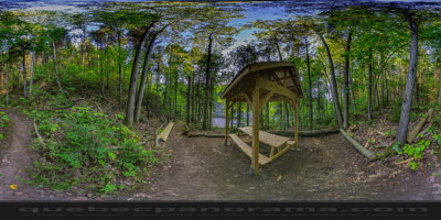
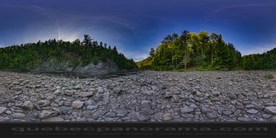
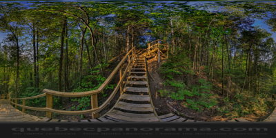
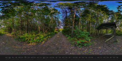
The trail leads to Cavée a salmon pool along the Ouelle River upstream of St. Pachomius and bearings falling encavée, worth some attention. As the name suggests, this trail is steep in places. Loop four kilometers.
How to get there: Google Maps
Categories: Sports and outdoor activities, Hiking
Card created: 09/2015 (last modified: 09/2015)
GPS coordinates: 47°23'16.86"N, 69°57'29.67"W
Download for your GPS: (.gpx)