
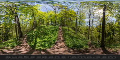
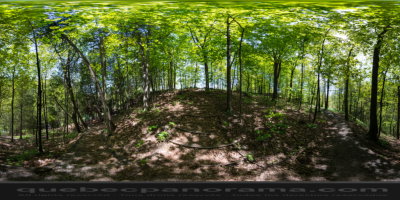
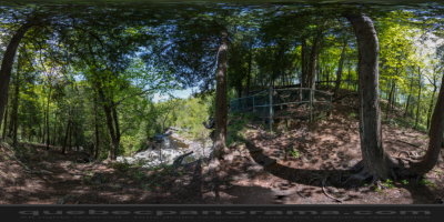
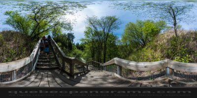
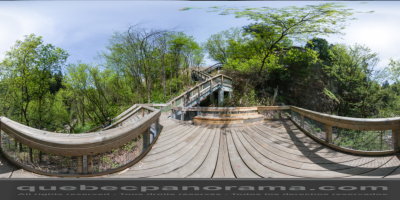
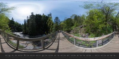
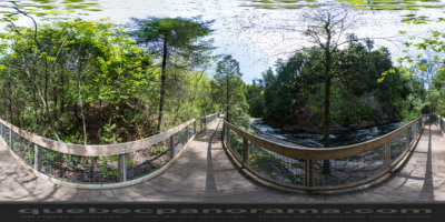
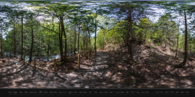
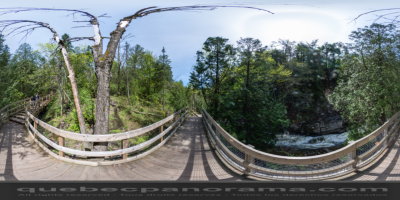
The Parc linéaire de la rivière Saint-Charles consists of 32 km of trails linking the St. Lawrence River to Lac Saint-Charles. Running through a variety of natural settings, both city and country, walkers can glimpse a wide variety of bird and plant species, and enjoy any of the many rest stations located in parks and historic sites along the way.
How to get there: Google Maps
Categories: Sports and outdoor activities, Wildlife observation, Hiking
Card created: 05/2013
GPS coordinates: 46°51'19.23"N, 71°21'2.96"W
Download for your GPS: (.gpx)