
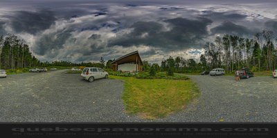
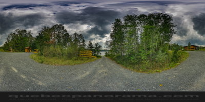
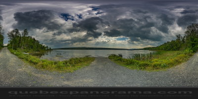
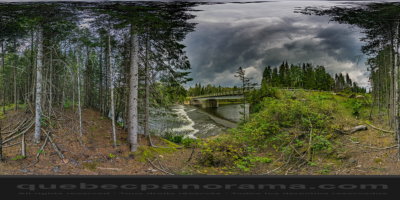
The National Park of Lac-Témiscouata is the 24th national park in Quebec. This protected area is 176.5 km2 located east of Lake Témiscouata. This new national park created November 18, 2009 is divided into two sectors, one northeast (157.2 km2) and the other southeast (18.1 km2) of Lake Temiscouata. Physical and ecological characteristics of the park are a representative territory of the natural region of mounts Notre Dame (21,720 km2), the only natural region of southern Quebec was not represented by a national park. In addition to border Lake Témiscouata, one of the finest in the region, the area has several smaller lakes and is crossed by a major canotable River, Lake Trout River at the mouth of which is spawning whitefish. Wildlife on the plan, the park is home to the largest deer ravaging the Bas-Saint-Laurent. Finally, culturally, there are a high concentration of Native American archeological sites among the oldest in Quebec.
Case Postale 28, Squatec, QC G0L 4H0


How to get there: Google Maps
Categories: Aquatic activities, Attractions, Sports and outdoor activities, Kayaking, Wildlife observation, Park and wildlife reserve, Hiking, SEPAQ
Card created: 09/2015 (last modified: 09/2015)
GPS coordinates: 47°47'24.08"N, 68°45'24.78"W
Download for your GPS: (.gpx)