
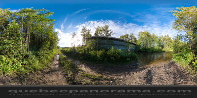
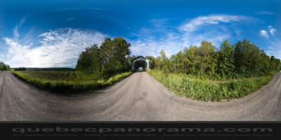
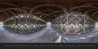
Covered bridge, built in 1933, on Neigette river
How to get there: Google Maps
Categories: Attractions, Covered bridge
Card created: 10/2013 (last modified: 10/2013)
GPS coordinates: 48°27'5.04"N, 68°18'54.58"W
Download for your GPS: (.gpx)