
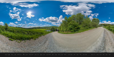
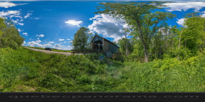
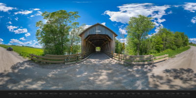
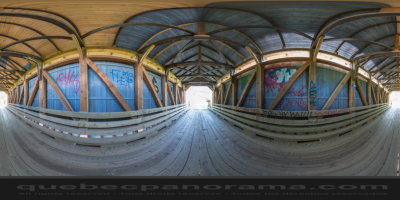
Latitude : 45° 18’ 10.1’‘
Longitude : -71° 54’ 47.4’‘
How to get there: Google Maps
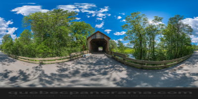
Categories: Attractions, Covered bridge
Card created: 06/2014 (last modified: 06/2014)
GPS coordinates: 45°18'8.65"N, 71°54'46.5"W
Download for your GPS: (.gpx)