
Latitude : 45° 23’ 30.’‘
Longitude : -71° 33’ 30.0’‘
How to get there: Google Maps
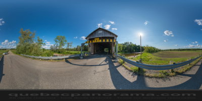
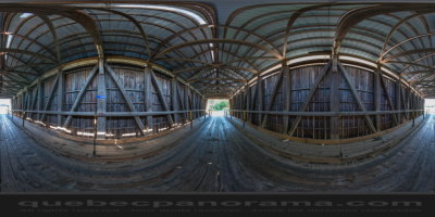
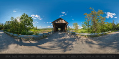
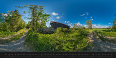
Categories: Attractions, Covered bridge
Card created: 06/2014 (last modified: 06/2014)
GPS coordinates: 45°23'34.63"N, 71°33'21.52"W
Download for your GPS: (.gpx)