
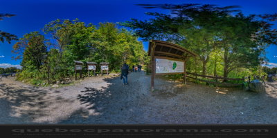
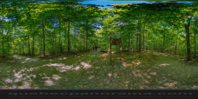
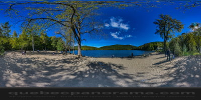
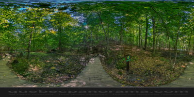
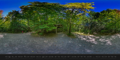
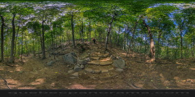
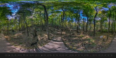
Mont Saint-Hilaire with its 400 m above sea level, part of the Montérégie hills, is one of the largest hills in the plain of the St. Lawrence. It is among these hills, one that has undergone the least change. She remained, over the decades, covered with mature forest, one of the last intact ancient forests of southern Quebec. This nature reserve is property of McGill University since 1958. On this mountain you have the chance to browse a network of 25 km of trails and climb four peaks offer magnificent panoramas. In addition to outdoor activities, the Nature Centre also carries out conservation projects natural mountain environments and the region. It was classified “migratory bird sanctuary” by the federal government in 1960. In 1978 Unesco made it a “biosphere reserve” first location of its kind in Canada.
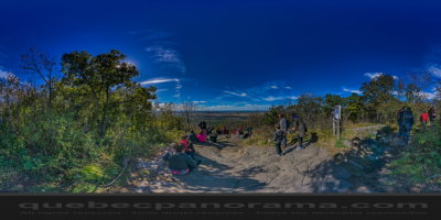
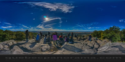
The public sector of the mountain has four peaks: the Pain de sucre, Burned Hill or “Colline Brûlée” Rocky and Dieppe. From its 415 meters, Pain de sucre serves gazebo where it is possible to admire the region, see the Montreal Olympic Stadium and collect the chain of the Adirondacks in upstate New York. Rocky follows in second place with 400 meters above sea level and offers splendid views of the north and farmland of the region. Dieppe, with its 381 meters high offers a breathtaking view of the Richelieu River. Finally, the top of the 300 meters Colline Brûlée, it is possible to admire the orchards of the south side and part of the Richelieu Valley.
422 Chemin des Moulins, Mont-Saint-Hilaire, QC J3G 4S6
How to get there: Google Maps
Categories: Sports and outdoor activities, Wildlife observation, Hiking
Card created: 10/2015 (last modified: 10/2015)
GPS coordinates: 45°32'12.02"N, 73°9'26.14"W
Download for your GPS: (.gpx)