
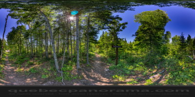
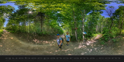
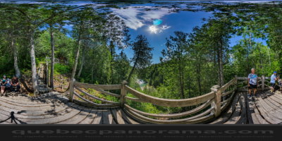
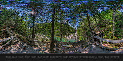
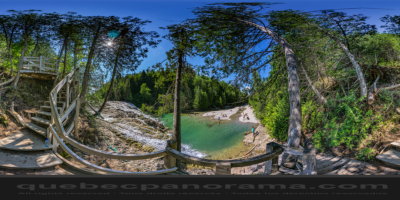
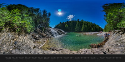
It is in the area of Coin-du-Banc, near Percé, lies the Portage River, known locally as the river name Emeralds.
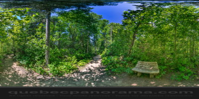
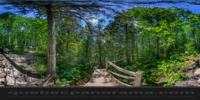
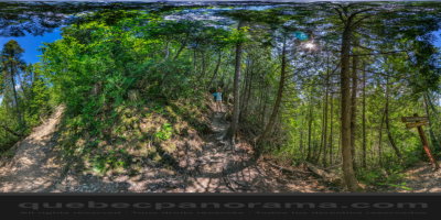
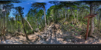
This beautiful site is one of the starting points of the Rivers Trail that stretches 27 kilometers through the forest to L’Anse-à-Beaufils. You can admire his fall and even a swim. It is called the emerald river because of the depth and color of the stones at the bottom giving it a green appearance.

How to get there: Google Maps
Categories: Aquatic activities, Sports and outdoor activities, Beach, Hiking
Card created: 08/2016 (last modified: 08/2016)
GPS coordinates: 48°34'6.2"N, 64°18'26.25"W
Download for your GPS: (.gpx)