
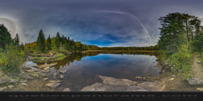
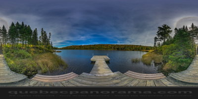
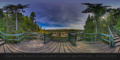
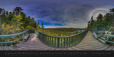
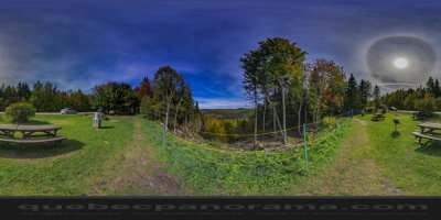
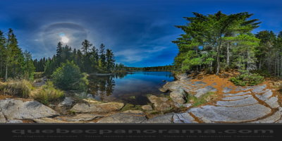
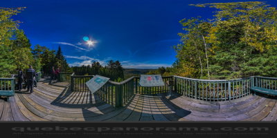
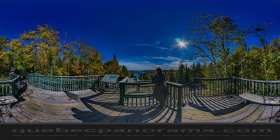
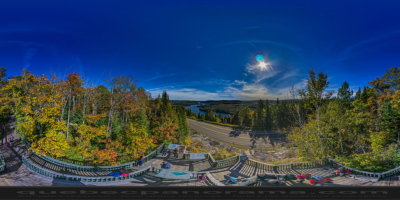
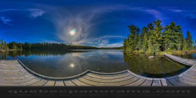
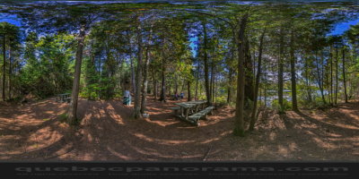
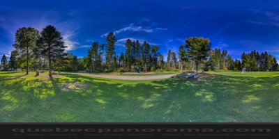
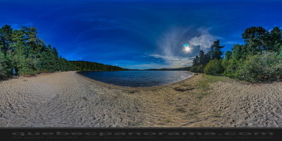
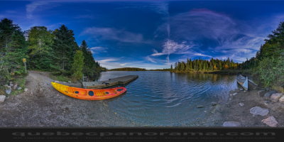
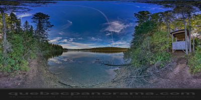
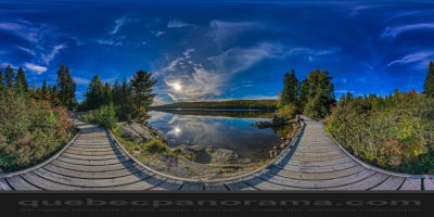
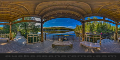
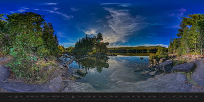
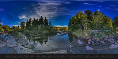
La Mauricie National Park is located near Shawinigan, in the Laurentian mountains, in Mauricie. It covers 536 km2 in the southern Canadian Shield region bordering the Saint Lawrence lowlands. The park contains 150 lakes and many ponds.
The park lies within the Eastern forest-boreal transition ecoregion. The forests in this region were logged from the middle of the 19th century to the early 20th century. The park’s forests have regrown and contain a mixture of conifers and mixed deciduous trees. Wildlife in the park includes moose, black bears, beavers and otters. It supports a small number of wood turtles, rare in Canada. The park is a popular location for camping, canoeing and kayaking.
Saint-Mathieu-du-Parc, QC G0X 1N0
How to get there: Google Maps
Categories: Winter activities, Aquatic activities, Attractions, Sports and outdoor activities, Cross-country skiing and snowshoeing, Canoeing, Kayaking, Beach, Camping, Wildlife observation, Park and wildlife reserve, Hiking, Cycling, Scenic Lookouts
Card created: 10/2015 (last modified: 10/2015)
GPS coordinates: 46°40'2.18"N, 73°1'14.71"W
Download for your GPS: (.gpx)