
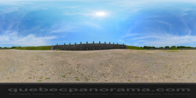
Built on the south shore of the Saint Lawrence River by the British between 1865 and 1872, the Lévis Forts were designed to protect Québec against American invasion following the Civil War. Located on a promontory offering a magnificent view of Québec, the St. Lawrence River and the entire region.
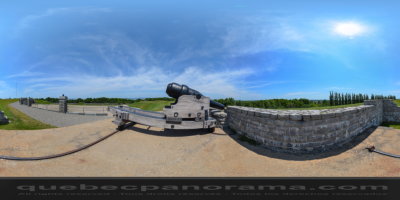
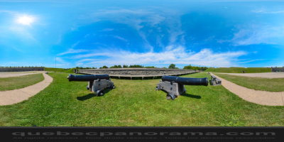
Last in a series of three detached forts and beautifully restored by Parks Canada, Fort No. 1 attests to technological innovations that were remarkable for their time.
Come on in! This rather extraordinary fortification has lots of surprises in store!
41, ch. du Gouvernement, Lévis
QC, CA
How to get there: Google Maps
Categories: Attractions, Museums and historic sites, National Historic Site of Canada
Card created: 04/2013 (last modified: 08/2014)
GPS coordinates: 46°48'52.14"N, 71°9'28.67"W
Download for your GPS: (.gpx)