
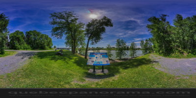
Saint-Ours ( Montérégie )
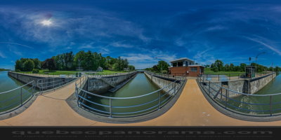
Opened in 1849, the Saint-Ours Canal is a continuation of the Chambly Canal, bypassing the final obstacle to navigation between the St. Lawrence River and Lake Champlain.
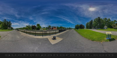
Known as the tenth lock of the Richelieu, the Saint-Ours Canal is situated between l’île Darvard and has been indispensable to international trade for over a century. Pleasure boating has replaced the canal’s commercial traffic. Open the gates of the lock and sail on the waters of the Richelieu River.
How to get there: Google Maps
Categories: Attractions, Museums and historic sites, National Historic Site of Canada
Card created: 05/2013 (last modified: 06/2015)
GPS coordinates: 45°51'52.26"N, 73°8'47.48"W
Download for your GPS: (.gpx)