
Rosemère ( Laurentides )
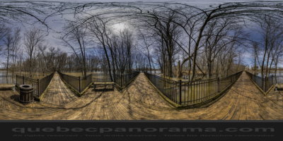
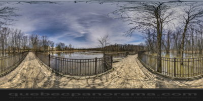
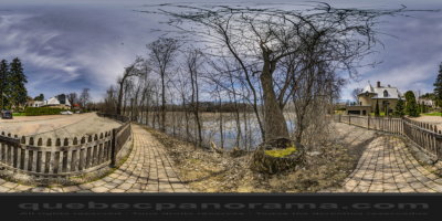
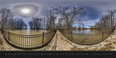
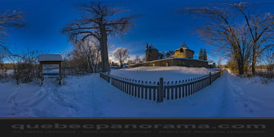
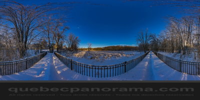
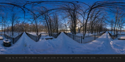
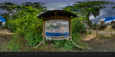
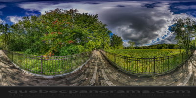
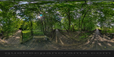
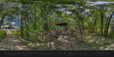
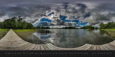
The park takes the shape of a fitted bridge over the marsh. This path passes under the canopy of trees that provides a much appreciated cool during hot summer days. Continuous gateway to the river for miles islands which offers an interesting view of the river and the surrounding islands.
Rue Charbonneau, Rosemère, QC J7E 1G1

How to get there: Google Maps
Categories: Sports and outdoor activities, Hiking
Card created: 10/2016 (last modified: 09/2017)
GPS coordinates: 45°37'13.21"N, 73°48'7.15"W
Download for your GPS: (.gpx)