
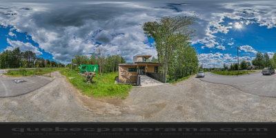
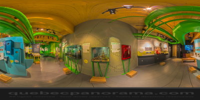
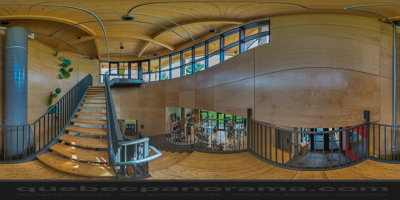
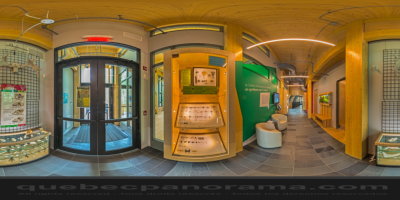
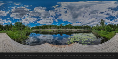
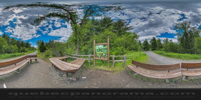
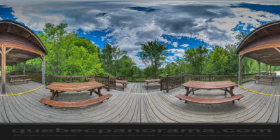
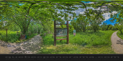
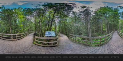
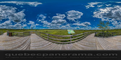
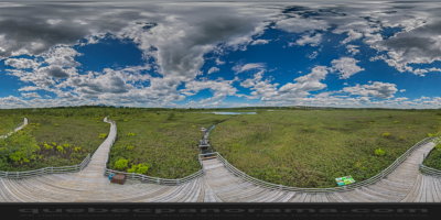
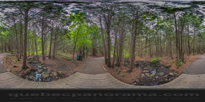
Park in downtown Magog offering 6 km (4 mi.) of year-round trails that lead through a range of ecosystems. You can learn more about these fascinating natural environments at the on site interpretation centre, as well as follow the quiz trail, go kayaking, and enjoy nature classes and talks!
How to get there: Google Maps
Categories: Sports and outdoor activities, Wildlife observation, Park and wildlife reserve, Hiking
Card created: 06/2013 (last modified: 06/2014)
GPS coordinates: 45°16'58.49"N, 72°10'46.16"W
Download for your GPS: (.gpx)