
Candiac ( Montérégie )
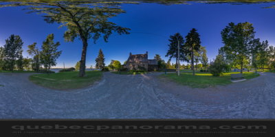
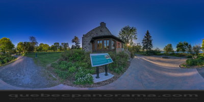
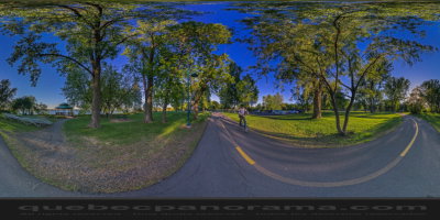
Over 700 m of shoreline, the track runs along the south shore of the St. Lawrence in Candiac. We can also see the house of Culture and Arts (House Melançon). A terrace allows a view of the River. The path is illuminated in the evening. breathtaking views of the west of Montreal, The Animals are welcome. Track with exercise outdoor park equipment.
116 boulevard Marie-Victorin, Candiac, QC J5R 1C1
How to get there: Google Maps
Categories: Sports and outdoor activities, Hiking, Cycling, Urban parks
Card created: 06/2015 (last modified: 06/2015)
GPS coordinates: 45°24'1.89"N, 73°31'46.28"W
Download for your GPS: (.gpx)