
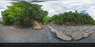
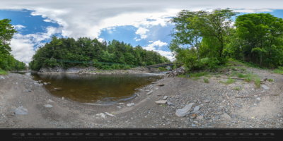
The gorge’s formation is a phenomenon that spread over a very long period, with the latest glacial era taking place some 50,000 years ago. At that time, the Wisconsin glacier covered the region. Its melting formed Coaticook’s preglacial lake. The lake later became a river burrowed deep into thick layers of rock, some 15,000 years ago. Although already impressive, the gorge deepens every year, while the Coaticook River forces its way through the rocky mass. In fact, the river’s depth increases of approximately 3 mm (0.1 in.) each year. Landslides allowed trees to take roots on the hillsides.
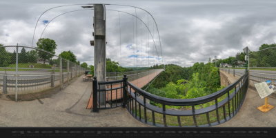
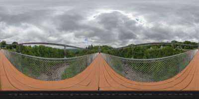
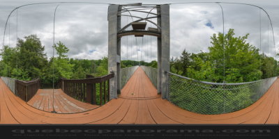
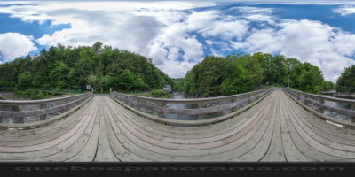
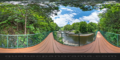
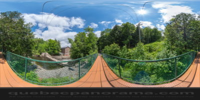
Spreading over the river at 50 meters (164 ft.) high, the view of the gorge and surrounding scenery is exceptional. With its 169 m (554 ft.), it is the longest suspended footbridge in the world. And this is inscribed in the Guinness book of World Records. Cables of 199 m (653 ft.) long, and 5 cm (2 in.) diameter, support the footbridge. It has a capacity of 80 tons, representing 800 persons of approximately 90 kg (200 lbs).
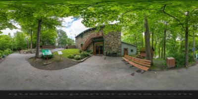
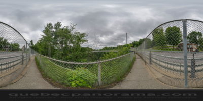
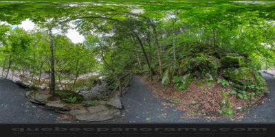
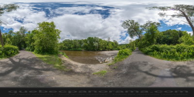
It is surrounded by over 20 km of trails. Along one of the trails, admire a replica of a large circular barn typical of the Eastern Townships and a covered bridge. Admire a panoramic view of the Appalachian Mountains from the two observation towers. Various activities are offered year-round
400 Rue St-Marc, Coaticook, QC J1A 2T7
How to get there: Google Maps
Categories: Sports and outdoor activities, Camping, Park and wildlife reserve, Hiking
Card created: 06/2014 (last modified: 02/2015)
GPS coordinates: 45°8'48.44"N, 71°48'24.66"W
Download for your GPS: (.gpx)