
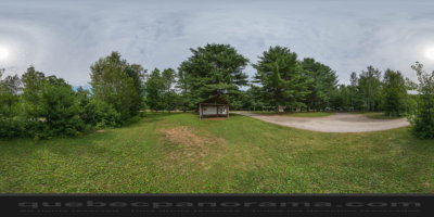
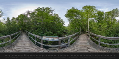
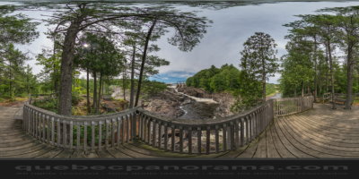
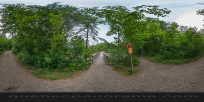
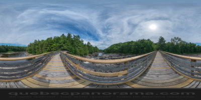
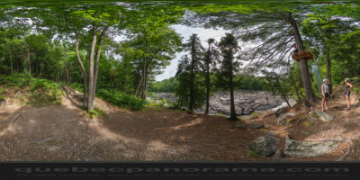
A park not to be missed. Stop here to enjoy hiking, mountain biking, canoeing and camping (serviced, semi-serviced, primitive yourte, and in prospector’s tents). Interpretation and animation rooms. Via Batiscan: zip lines, via ferrata and aerial tree obstacle course. This regional park emphasizes conservation and environmental education via 25 km of marked trails and ecological and historical interpretation panels. The park is located at the meeting point of two geological formations. The rifts caused by this meeting have created a spectacular landscape. Covering 1,000 acres, the park is dotted with waterfalls, rapids and ponds. This regional park, through which the Batiscan River flows, features a range of environment-theme outdoor and educational activities. This is a unique site for enjoying outdoor activities. Lodging in camping, yourt or prospector tent.
200, ch. du Barrage, Saint-Narcisse, QC, G0X 2Y0
How to get there: Google Maps
Categories: Aquatic activities, Sports and outdoor activities, Canoeing, Kayaking, Camping, Wildlife observation, Park and wildlife reserve, Hiking, Cycling
Card created: 08/2014 (last modified: 08/2014)
GPS coordinates: 46°33'15.76"N, 72°24'44.43"W
Download for your GPS: (.gpx)