
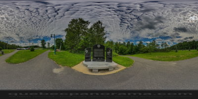
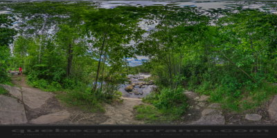
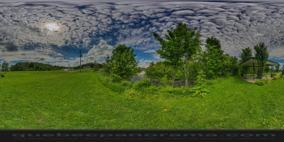
Shawinigan ( Mauricie )
Multifunctional linear bike path that crosses a mixed wood along the river Shawinigan.
How to get there: Google Maps
Categories: Sports and outdoor activities, Hiking
Card created: 09/2015 (last modified: 09/2015)
GPS coordinates: 46°33'40.75"N, 72°45'19.07"W
Download for your GPS: (.gpx)