
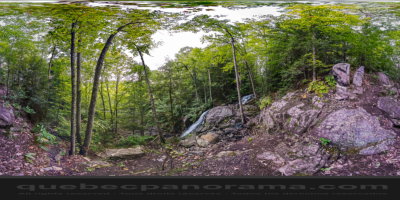
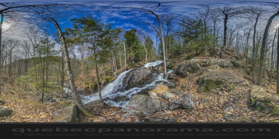
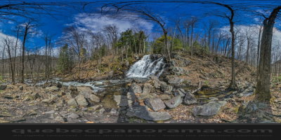
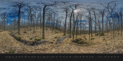
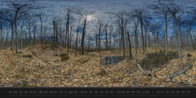
A trail runs along a stream known for its waterfalls. Interpretive signs provide information about these courses as well as the flora and fauna found in the park. At the top of a steep hill, a lookout offers a panoramic view of the Gatineau Valley. Also at the summit, the trail continues to the swamp.
How to get there: Google Maps
Categories: Sports and outdoor activities, Hiking
Card created: 10/2014 (last modified: 04/2015)
GPS coordinates: 45°48'11.51"N, 75°47'22.32"W
Download for your GPS: (.gpx)