
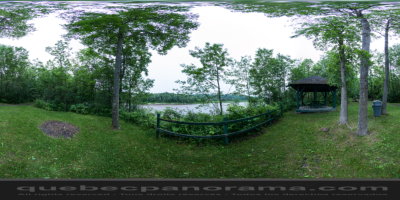
The Parc des Rapides du Diable is located between Route 173 and the Chaudière River in the Beauceville area, in the heart of the Beauce region. Visitors can enjoy the beautiful forest, hiking trails (400 m), rest and picnic areas and a stunning view of the Chaudière River and its tumultuous rapids. Read the thematic panels along the way and discover the history behind the park, its gold-bearing past, the origin of its name and the influence of Benedict Arnold.
How to get there: Google Maps
Categories: Winter activities, Sports and outdoor activities, Cross-country skiing and snowshoeing, Hiking, Urban parks
Card created: 10/2013 (last modified: 10/2013)
GPS coordinates: 46°11'51.91"N, 70°45'9.67"W
Download for your GPS: (.gpx)