
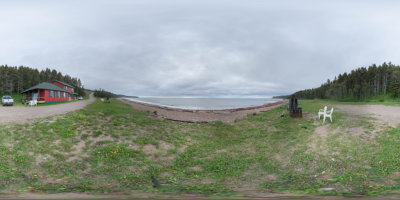
Imagine a wild and enchanting island, bathed by the transparent light of the north. Imagine white cliffs caressed by the ocean. Imagine breathtaking canyons and the roar of powerful waterfalls. Imagine immense secret caves, white-tailed deer browsing on algae, salmon swimming through emerald-green pits and seals basking on the rocks. Nearly 125 km of trails crisscross this huge land area. On the island, hiking takes several forms: a walk along the shore or through a canyon with towering rock faces, a fascinating exploration of a cave or an outing in a boreal forest.
Photo credits, Robert Lavalée
25, ch. des Forestiers, Port-Menier, L’Île-d’Anticosti, QC, G0G 2Y0
How to get there: Google Maps
Categories: Attractions, Sports and outdoor activities, Camping, Hunting and fishing, Wildlife observation, Park and wildlife reserve, Hiking, SEPAQ
Card created: 09/2014 (last modified: 06/2015)
GPS coordinates: 49°42'26.27"N, 62°55'28.78"W
Download for your GPS: (.gpx)