
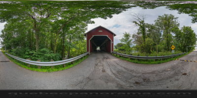
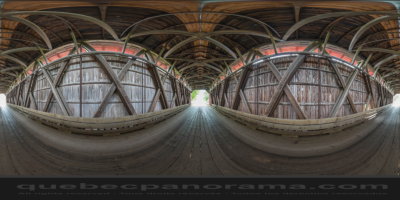
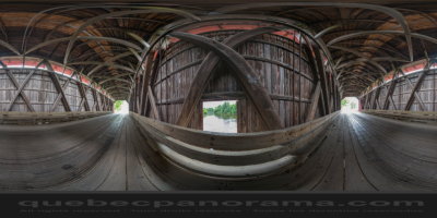
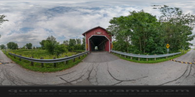
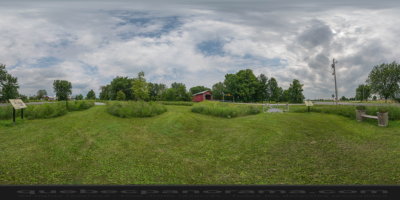
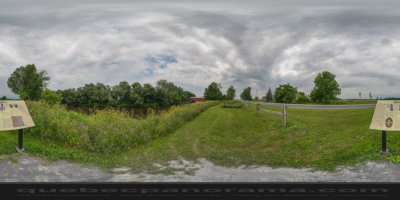
Rivers Bridge is a covered bridge over the Pike River in the Montérégie region in southern Quebec. The bridge is “Howe” type (farm cross of St. Andrew), named after its inventor, architect William Howe. In spring 1983, he became the last surviving authentic structure “Howe” in Quebec. It is built on Chemin Saint-Charles in the territory of the municipality of Notre-Dame-de-Stanbridge. Single-span structure is reinforced by steel rods replacing the punches wood, covered with vertical boards with single opening in the pit and wooden roof is covered with sheet metal. Has a length of 40.50 m, its overall width of 6.32 m and 4.83 m carriageway width for a free height of 4.19 m gantry. It supports a load of 10 tonnes displayed.
How to get there: Google Maps
Categories: Attractions, Covered bridge
Card created: 07/2014 (last modified: 07/2014)
GPS coordinates: 45°9'28.03"N, 73°3'1.27"W
Download for your GPS: (.gpx)