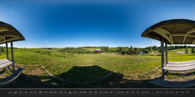
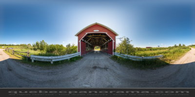
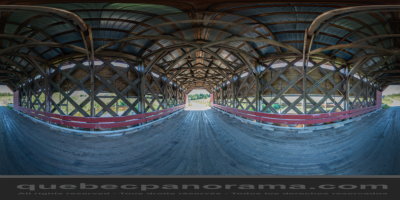
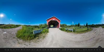
Sainte-Jeanne-d'Arc ( Saguenay - Lac-Saint-Jean )
How to get there: Google Maps
Categories: Attractions, Covered bridge
Card created: 10/2013 (last modified: 10/2013)
GPS coordinates: 48°52'59.21"N, 72°5'7.7"W
Download for your GPS: (.gpx)