
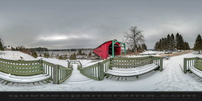
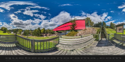
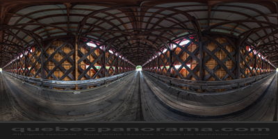
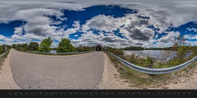
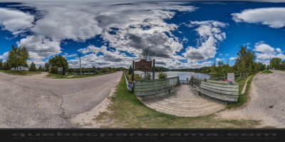
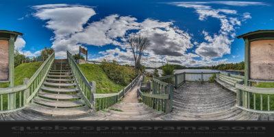
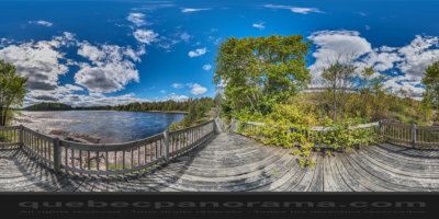
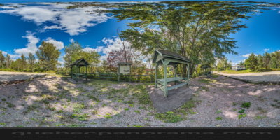
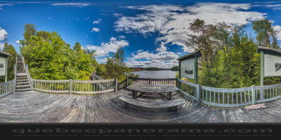
Elaborated Town style covered bridge. Built in 1931 and spanning the Gatineau river, on a distance of 102 meters long. It features lookouts and descriptive panels that reveal the secrets of log-driving, and provides a breathtaking view of the Grand-Remous rapids.

How to get there: Google Maps
Categories: Attractions, Covered bridge
Card created: 10/2014 (last modified: 12/2016)
GPS coordinates: 46°35'27.39"N, 75°55'45.63"W
Download for your GPS: (.gpx)