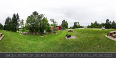
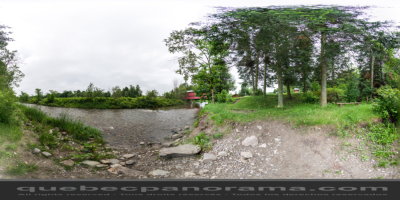
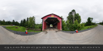
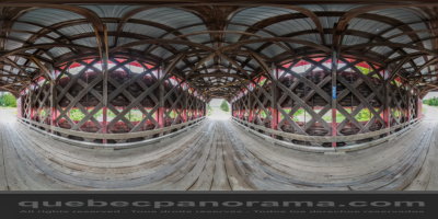
Saint-Sylvestre ( Chaudière-Appalaches )
How to get there: Google Maps
Categories: Attractions, Covered bridge
Card created: 10/2013 (last modified: 10/2013)
GPS coordinates: 46°21'33.76"N, 71°19'14.66"W
Download for your GPS: (.gpx)