
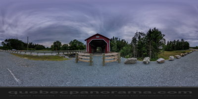
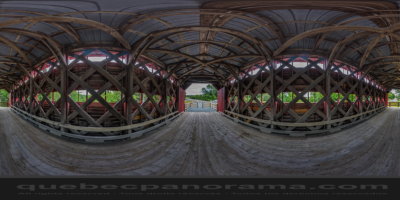
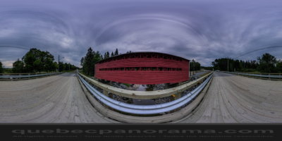
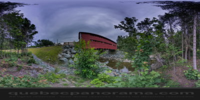
Bridge of 22.5 meters, built in 1937 and spans the River Dupuis in range 7.
How to get there: Google Maps
Categories: Attractions, Covered bridge
Card created: 08/2015 (last modified: 08/2015)
GPS coordinates: 46°7'42.52"N, 70°59'13.75"W
Download for your GPS: (.gpx)