
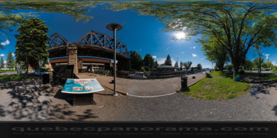
Sainte-Anne-de-Bellevue Canal National Historic Site
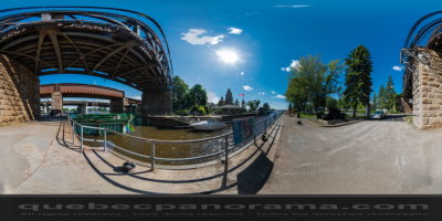
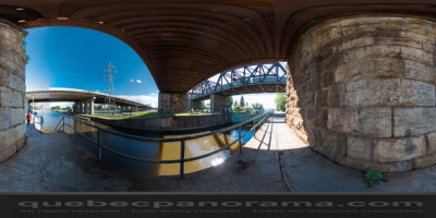
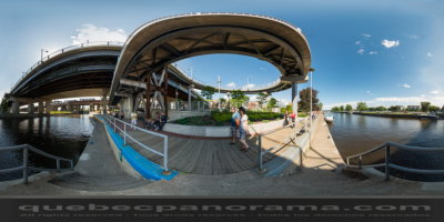
To travel the Sainte-Anne-de-Bellevue Canal is to take a trip through over 150 years of history. Located west of Montreal, the canal links Lake Saint-Louis and the Lake des Deux-Montagnes, at the mouth of the Ottawa River.
Used for commercial purposes from its opening in 1843, the canal soon became an integral part of the Montreal-Ottawa-Kingston inland shipping route.
Today, the Sainte-Anne-de-Bellevue lock is used essentially for pleasure boating. Travel one of our country’s most important communications routes, the Sainte-Anne-de-Bellevue Canal.

How to get there: Google Maps
Categories: Attractions, Museums and historic sites
Card created: 06/2013 (last modified: 06/2013)
GPS coordinates: 45°24'16.44"N, 73°57'21.67"W
Download for your GPS: (.gpx)