
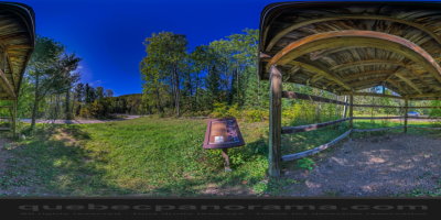
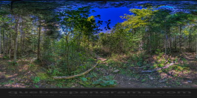
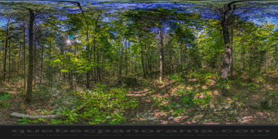
The National Trail in Matawinie presents a well balanced mix of views, lakes and mountains. On the northern part of the Lanaudière region, it integrates the great national project to complete a hiking trail across Canada from coast to coast. In Quebec, the National Trail has 1100 km to delight fans of hiking. In Matawinie, the trail crosses the region from west to east, over 170 km. A succession of ascents and descents offers different panoramas 180 degrees overlooking the valley and numerous lakes. Furrowing the most beautiful natural environments of northern Lanaudière region, the National Trail you will discover a wild and diverse landscapes. On your journey, you will also have the chance to meet some of the Matawinie regional parks.
How to get there: Google Maps
Categories: Sports and outdoor activities, Hiking
Card created: 09/2015 (last modified: 09/2015)
GPS coordinates: 46°21'4.19"N, 73°39'47.13"W
Download for your GPS: (.gpx)