
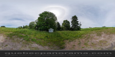
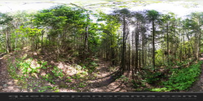
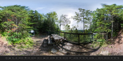
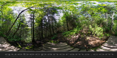
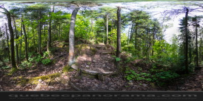
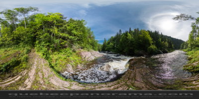
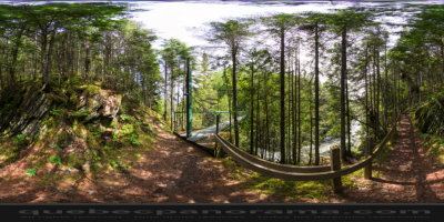
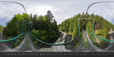
Bordering the Sénescoupé and Trois-Pistoles rivers, this hiking trail, some 17 km (11 mi.) long, is now an integral part of the National Trail. While travelling the linear trail, for beginner to advanced levels, you’ll discover all kinds of interesting natural phenomena like cliffs, waterfalls and kettles, not to mention diverse plant life.
Rue du Parc, Saint-Clément
Qc, Ca
G0L 2N0
How to get there: Google Maps
Categories: Sports and outdoor activities, Hiking
Card created: 10/2013 (last modified: 10/2013)
GPS coordinates: 47°55'19.06"N, 69°5'14"W
Download for your GPS: (.gpx)