
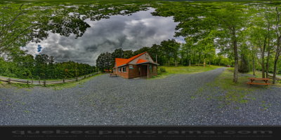
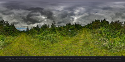
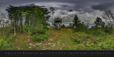
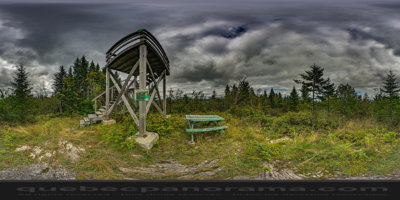
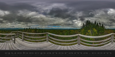
Intermediate hiking in any season culminating with an observation tower, the Tower to Gervais, to over 600 meters. View over the wind farm Massif du Sud, the peaks and villages of the region. Ideal for the whole family. Loop trail 6 km. Parking right on Maple Street.
How to get there: Google Maps
Categories: Sports and outdoor activities, Hiking
Card created: 09/2015 (last modified: 09/2015)
GPS coordinates: 46°28'25.91"N, 70°22'39.42"W
Download for your GPS: (.gpx)