
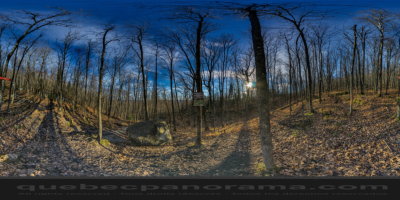
The Mount Ouareau trail is easily accessible and well maintained, it has some good climbs. Along the route you will find several beautiful views including a beautiful lake Ouareau. Former site of a fire tower where a guard was watching the surrounding mountains. The climb on this trail to the summit of Mont Ouareau is gradually to its top, it is difficult but short and we discover many beautiful points of view.


How to get there: Google Maps
Categories: Sports and outdoor activities, Hiking
Card created: 11/2015 (last modified: 12/2015)
GPS coordinates: 46°15'7.26"N, 74°7'42.71"W
Download for your GPS: (.gpx)