
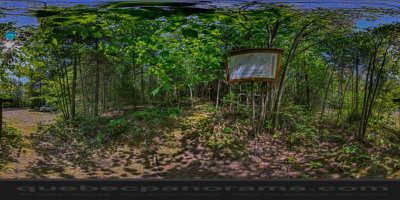
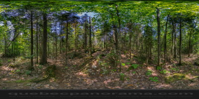
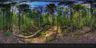
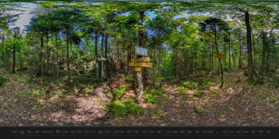
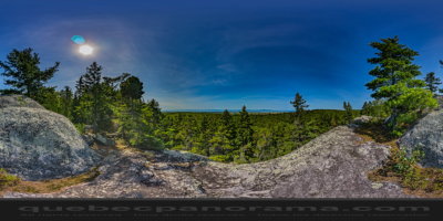
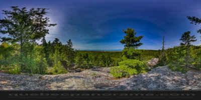
Three hiking trails are available to hikers. All are free and little developed. The path of Mushrooms and the Belvedere allow a short loop of about 1 km, where stunning views over the plain and the river await families and picnickers looking for a sunny rocky cape. Those who want to continue their stroll can try the Lake Trail, a loop of 2.6 kilometers leading to the lake of the Upper Town. Finally, the most experienced hikers can tackle the trail white Coteau totaling 8.2 km return or make a couple of trails and discover the whole sector.
How to get there: Google Maps
Categories: Sports and outdoor activities, Hiking
Card created: 09/2015 (last modified: 09/2015)
GPS coordinates: 47°16'28.49"N, 70°5'35.8"W
Download for your GPS: (.gpx)