
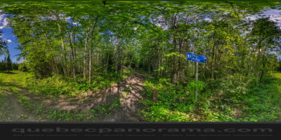
At the heart of the municipality, with its ornithological trails 9 km course will allow you to spend pleasant moments. Four observation towers allow you to admire the swamp and observe a variety of birds that nest in the area. During the winter, use of trails for snowshoeing or cross country skiing.
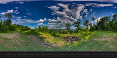
The Belvedere allows us to admire in all its splendor from the village of Pointe-à-la-Croix, the marshes of the Baie-au-Chêne, reserve Listuguj, JC Van Horn bridge linking Quebec and New Brunswick the Restigouche River, the city of Campbellton and its surroundings, etc.
The rue de la Montagne is located about 1 km from Highway 132 by the path of Petite Rivière-du -Loup leading to La Verna. For a panoramic view of our region, take the path of Mountain Street for a distance of 0.8 km.
How to get there: Google Maps
Categories: Sports and outdoor activities, Hiking
Card created: 08/2016 (last modified: 08/2016)
GPS coordinates: 48°2'11.32"N, 66°42'42.02"W
Download for your GPS: (.gpx)