
Saint-Côme ( Lanaudière )
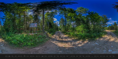
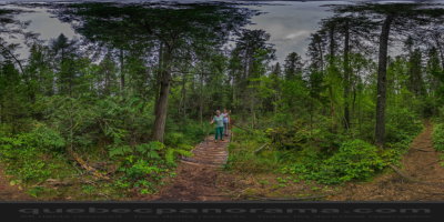
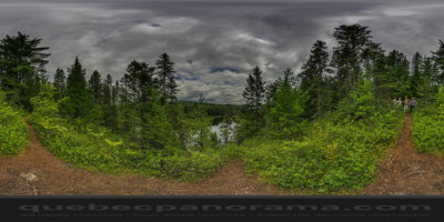
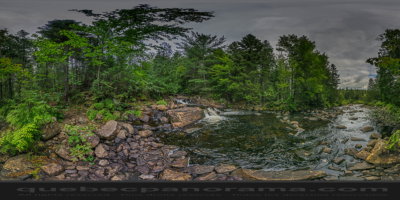
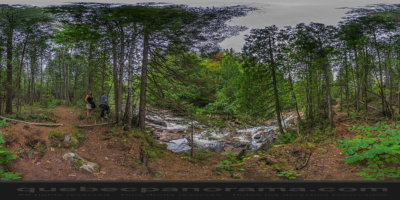
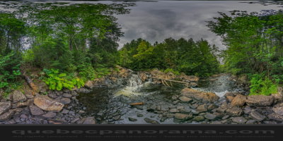
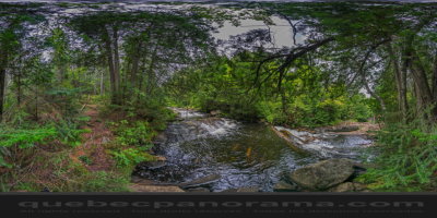
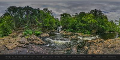
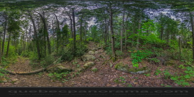
This section is divided into two sections. The western portion will satisfy the most athletes. The hike begins at Lake Road Clair, up until the top of the mountain Tranchant, the perfect place to admire the Lac Clair. To the east, the trail runs along the river and Swaggin can admire a succession of waterfalls and a lovely fall. The gateway to the L’Assomption River and Swaggin refuge are within walking distance of the park for a picnic stop.
How to get there: Google Maps
Categories: Sports and outdoor activities, Hiking
Card created: 09/2015 (last modified: 09/2015)
GPS coordinates: 46°19'3.24"N, 73°50'10.49"W
Download for your GPS: (.gpx)